Rwenzori Mountains National Park
About Rwenzori Mountains National Park
The Rwenzori Mountains, also known as the fabled Mountains of the Moon, are located on the border between Western Uganda and Congo. The mountain range boasts equatorial snow peaks, including the third-highest point in Africa at 5,109m (Margherita Peak), while the lower slopes are covered in moorland, bamboo, and lush montane forest. Huge tree heathers and colorful mosses drape across the mountainside, while giant lobelias and everlasting flowers create an enchanting, fairy tale scene. Rwenzori Mountains National Park protects the highest parts of the 120km long and 65km-wide Rwenzori mountain range. The national park is home to 70 mammal species and 217 bird species, including 19 Albertine Rift endemics, as well as some of the rarest vegetation in the world. The Rwenzoris are a world-class hiking and mountaineering destination. A nine to twelve-day trek will take skilled climbers to the summit of Margherita, the highest peak, though shorter, non-technical treks are possible to scale the surrounding peaks. Accommodation options include: Camp Norway and Ruboni Community Campsite.
The Legendary Mountains of the Moon
The Rwenzori Mountains were first documented by the ancient geographer Ptolemy in AD 150, who referred to them as the 'Mountains of the Moon,' believing them to be the source of the Nile River. This mysterious name captured imaginations for centuries.
On May 24, 1888, the explorer Henry Stanley officially placed the Rwenzoris on the world map, recording the name 'Ruwenzori,' which he documented as meaning 'Rain-Maker' or 'Cloud-King' in the local language—a fitting description for these perpetually mist-shrouded peaks.
The park was gazetted in 1991 to protect the extraordinary mountain ecosystem. In 1994, it was declared a UNESCO World Heritage Site in recognition of its outstanding natural beauty and unique biodiversity. In 2008, it was further designated a Ramsar Wetland of International Importance.
History was made in 2010 when Ms. Beryl Park, at age 78, became the oldest recorded climber to reach Margherita Peak at 5,109 meters, demonstrating that the Rwenzoris continue to challenge and inspire adventurers of all ages.
Geography & Climate
Geography
The Rwenzori Mountains form a 120-kilometer-long and 65-kilometer-wide massif straddling the Uganda-Congo border. Unlike East Africa's volcanic mountains (Kilimanjaro, Mount Kenya, Elgon), the Rwenzoris were formed by tectonic uplift, with massive crystalline rock blocks thrust upward from the Western Rift Valley floor. The range features dramatic glaciated peaks, deep valleys, and pristine mountain lakes, with elevations from 1,670 to 5,109 meters creating multiple distinct ecological zones.
Climate
The Rwenzoris experience an equatorial mountain climate with nearly constant temperatures year-round at each altitude zone. Heavy rainfall and persistent mist create the perpetually wet conditions that sustain the mountains' unique vegetation. At higher elevations, dramatic temperature fluctuations between day and night can exceed 40°C. The summit zone experiences freezing conditions with glaciers, though these are rapidly receding due to climate change.
Wildlife & Nature
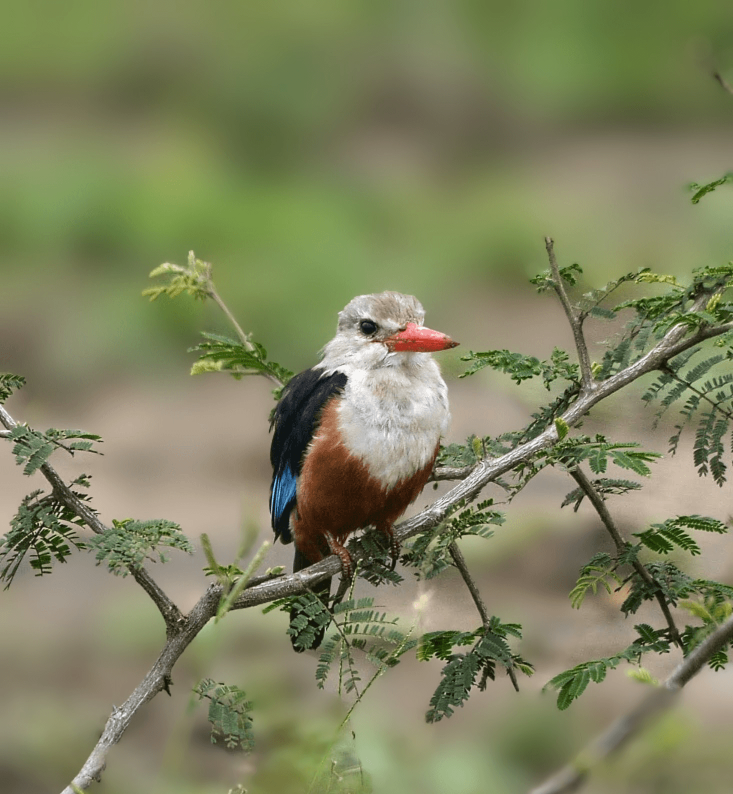
The Rwenzoris harbor exceptional biodiversity across their altitudinal gradient. The mountains support 70 mammal species and 217 bird species, including numerous Albertine Rift endemics found nowhere else on Earth. The vegetation is the star attraction—an otherworldly botanical paradise where giant forms of familiar plants create an Alice-in-Wonderland landscape draped in moss and lichens.
Mammals
- Rwenzori Colobus Monkeys
- L'Hoest's Monkeys
- Blue Monkeys
- Forest Elephants (occasional)
- Rwenzori Duikers
- Hyraxes (Rock and Tree)
- Giant Forest Hogs
- Leopards
- African Golden Cats
- Bushbucks
Birds
- Rwenzori Turaco
- Handsome Francolin
- Rwenzori Batis
- Rwenzori Double-collared Sunbird
- Golden-winged Sunbird
- Stripe-breasted Tit
- Montane Masked Apalis
- Kivu Ground Thrush
- Scarlet-tufted Malachite Sunbird
- Lammergeier (Bearded Vulture)
- Western Green Tinkerbird
- Ruwenzori Hill Babblers
Flora
- Giant Groundsels (Dendrosenecio - up to 8 meters tall)
- Giant Lobelias (up to 3 meters tall)
- Giant Heathers (tree heathers reaching 15 meters)
- Everlasting Flowers (Helichrysum)
- Bamboo forests (2,500-3,000m elevation)
- Hagenia-Rapanea montane forest
- Tussock grasses
- Sphagnum moss bogs
- Multiple orchid species
- Tree ferns and ground ferns (104 species)
- Lichens and mosses (creating the 'mossy wonderland' effect)
Local Culture & Communities
The Bakonzo people have lived on the lower slopes of the Rwenzoris for centuries, developing intimate knowledge of the mountain ecosystem. Their traditional beliefs include spirits residing in the mountains, and they have historically used the forest for hunting, gathering, and traditional medicine. Community partnerships now integrate local knowledge with conservation efforts.
Cultural Experiences
- Learn about Bakonzo traditional beliefs regarding the mountain spirits and creation myths
- Experience traditional Bakonzo dances and music performances at cultural centers
- Tour community-run campsites that provide employment and revenue for local families
- Participate in traditional medicine plant walks with Bakonzo elders
- Visit local schools and community projects supported by tourism revenue
- Engage with women's cooperatives producing crafts and providing porter services
Best Time to Visit
The Rwenzoris can be climbed year-round, but conditions vary dramatically between seasons. The mountains' position in the Congo Basin weather system means rain is possible any day of the year, though some periods are significantly drier.
Dry Season (January & June-July)
The drier months offer the best conditions for mountaineering, with relatively less rainfall making trails less muddy and river crossings safer. Clear weather windows are more frequent, providing better views and photography opportunities. However, even during the 'dry' season, trekkers should expect rain and prepare accordingly. These are the most popular months for summit attempts to Margherita Peak. The unique vegetation is at its most accessible with drier trails through the moorland and bog zones.
Wet Season (February-May & August-December)
The wet season sees heavy rainfall creating extremely challenging trekking conditions with muddy, slippery trails and flooded river crossings. However, the vegetation is at its most lush and magnificent, with giant lobelias and groundsels in full bloom. Waterfalls are spectacular with high volumes. Fewer trekkers mean more solitude in this pristine wilderness. Only experienced mountaineers should attempt summit climbs during these months. The mystical atmosphere created by constant mist and clouds gives the mountains their legendary character.